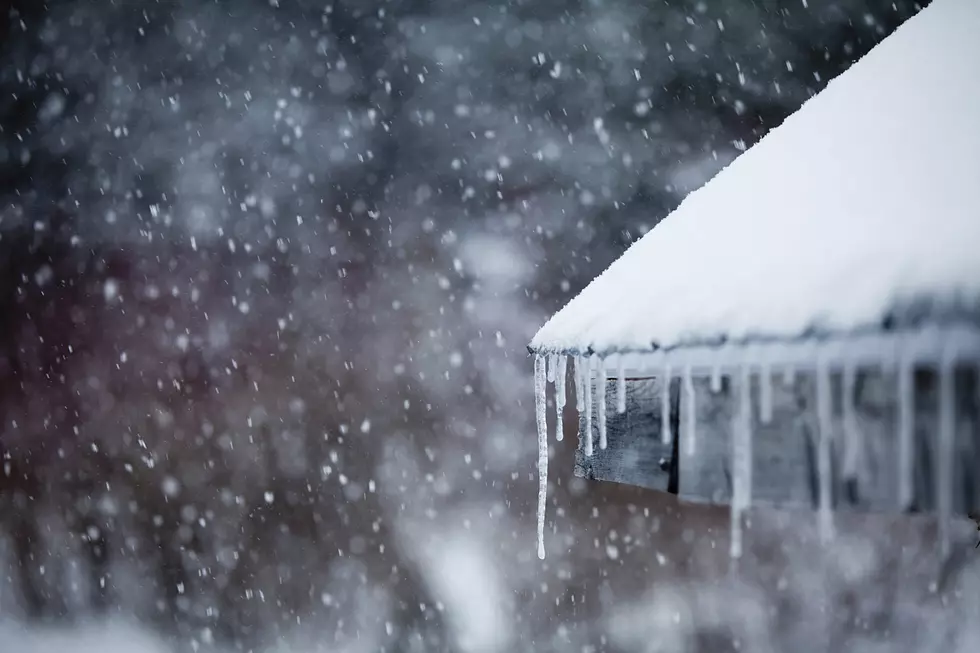
Winter Storm Watch for Heavy Snow Monday
The National Weather Service has issued a Winter Storm Watch in effect from 6 AM Monday morning through 6 AM Tuesday morning when a major winter storm could dump 6-10" across parts of Central Minnesota.
The watch area includes locations along and north of a line from Little Falls, to
Princeton, to New Richmond and Chippewa Falls, Wisconsin -- including Benton, Morrison, and Mille Lacs counties
In addition, northeast winds gusting to near 30 mph will lead to areas of blowing snow. Travel could become very difficult Monday afternoon and evening.
From the National Weather Service this morning: An active weather pattern is developing, with a long duration of steady precipitation starting Sunday, and continuing through Tuesday morning. Confidence has increased enough that significant snowfall will develop in the Upper Midwest, and western Great Lakes region late Sunday night, and continuing through Tuesday morning. A portion of central Minnesota, and west central Wisconsin is under a Winter Storm Watch due to the increasing confidence in the forecast. Those who are travelling in the next couple of days need to stay ahead of the latest forecast as significant snowfall, strong winds and much colder temperatures develop.
More From Mix 94.9