As a cold front approaches from the west Thursday afternoon, showers and thunderstorms are expected to develop along and ahead of the front in western Minnesota then gradually push east through the afternoon and evening.
A few severe storms will be possible late Monday afternoon through the night as an area of showers and thunderstorms moves across the area ahead of a cold front.
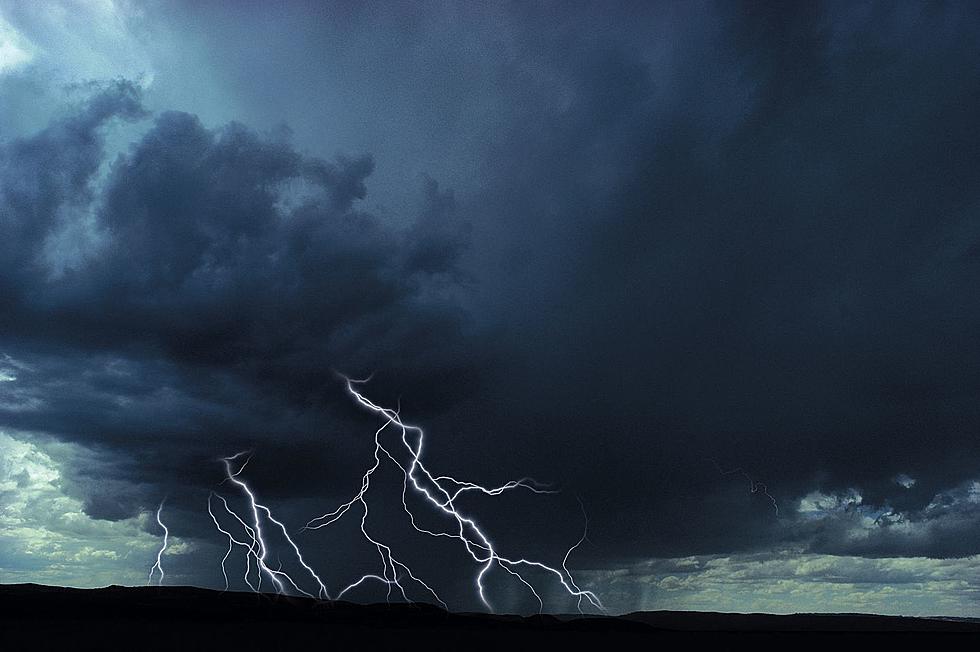
Here's an interesting tidbit for your Thursday morning, The National Weather Service has issued the fewest number of Severe Thunderstorm and Tornado Warnings in 21 years, so far this year (since 2000).