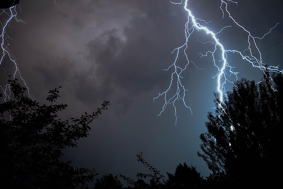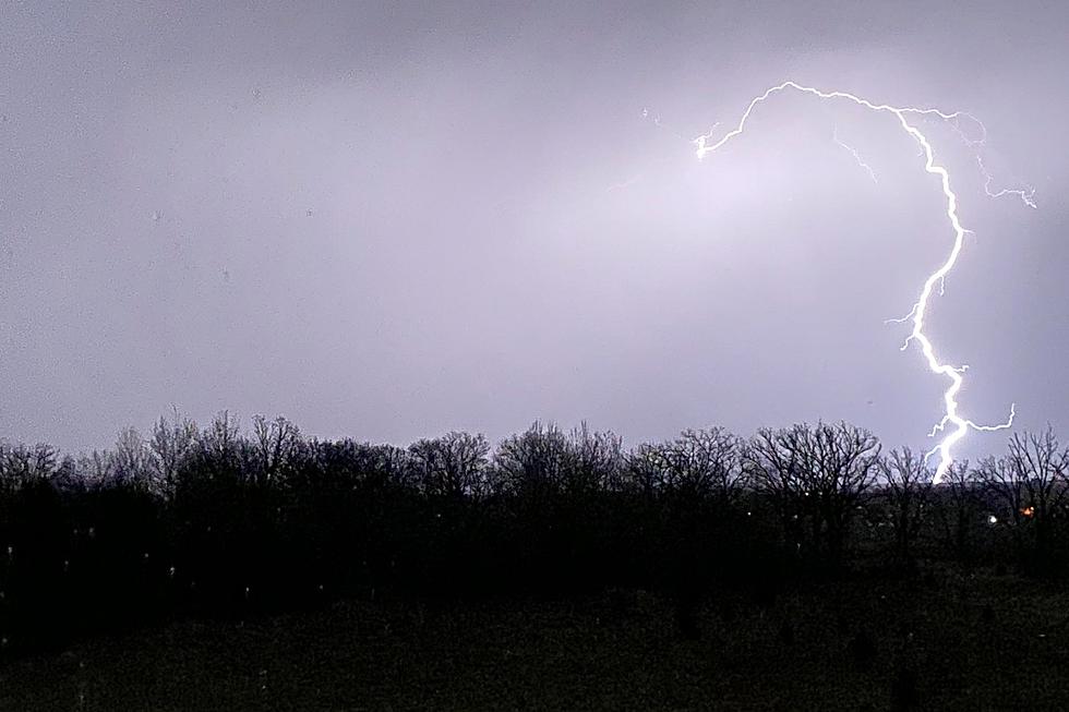
Increased Severe Weather Risk for Minnesota Today
The National Weather Service has increased the severe weather risk for parts of southern Minnesota today to 'moderate,' or a 4 out of 5 in risk factors.
If you live or have friends/family that live in Minnesota, Wisconsin, or Iowa, please pay attention to the weather later this afternoon. Make sure to have a way to receive weather warnings!

Never before has Minnesota been included in a 'moderate' severe weather risk in December.
Severe thunderstorms with damaging winds will be possible to the southeast of the St. Cloud area -- along with some tornadoes. A 'marginal' risk for severe weather includes parts of Meeker, Sherburne, and Wright counties.
This storm system has a lot of moving parts, so staying up to date, and having multiple ways to receive warnings will be a good idea.
From the National Weather Service this morning: Severe thunderstorms capable of widespread, intense wind gusts (some greater than 75 mph), and a few tornadoes are possible late this afternoon into this evening across Iowa, southeast Minnesota, and west-central Wisconsin. Check http://spc.noaa.gov for more details.
LOOK: The most expensive weather and climate disasters in recent decades
KEEP READING: What to do after a tornado strikes
More From Mix 94.9


![Storm Photos from Around Central Minnesota [Thursday, May 12th]](http://townsquare.media/site/65/files/2022/05/attachment-Untitled-design-2022-05-13T053645.3901.jpg?w=980&q=75)
![Funnel Cloud Caught on Video Near Gilman Monday [WATCH]](http://townsquare.media/site/65/files/2022/05/attachment-Untitled-design-2022-05-10T055242.323.jpg?w=980&q=75)
![Heavy Winds and Hail as Storm Blows Through Central Minnesota [PHOTOS]](http://townsquare.media/site/67/files/2021/08/attachment-239395257_10158292082818016_6983237901347768939_n-1.jpg?w=980&q=75)


